

New York airport map prints
New York stretches from the Atlantic through river valleys and mountains to the Great Lakes. Kennedy International and LaGuardia occupy low ground around New York City. Albany International and Stewart International mark the Hudson Valley. Buffalo Niagara, Syracuse Hancock and Plattsburgh International show the variety of airport layouts farther upstate.
44 New York fields
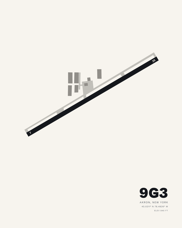
Akron/Jesson FieldAkron9G37 colorways

Albany InternationalAlbanyALB7 colorways
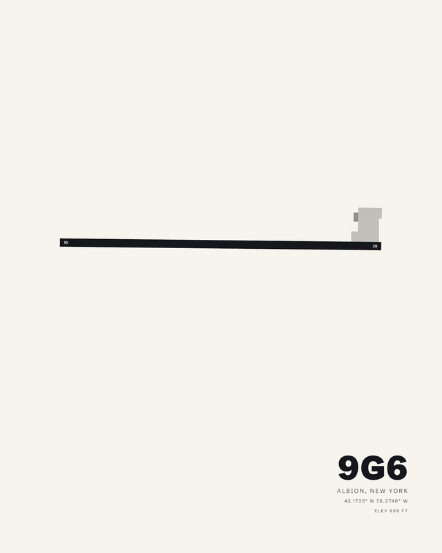
Pine HillAlbion9G67 colorways
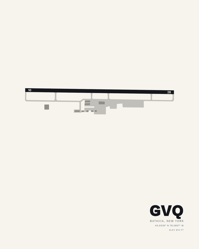
Genesee CountyBataviaGVQ7 colorways

Greater Binghamton AirportBinghamtonBGM7 colorways
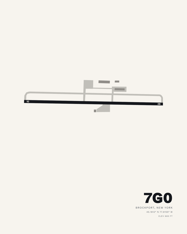
Ledgedale AirparkBrockport7G07 colorways
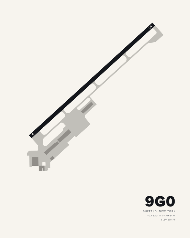
Buffalo AirfieldBuffalo9G07 colorways

Buffalo Niagara InternationalBuffaloBUF7 colorways
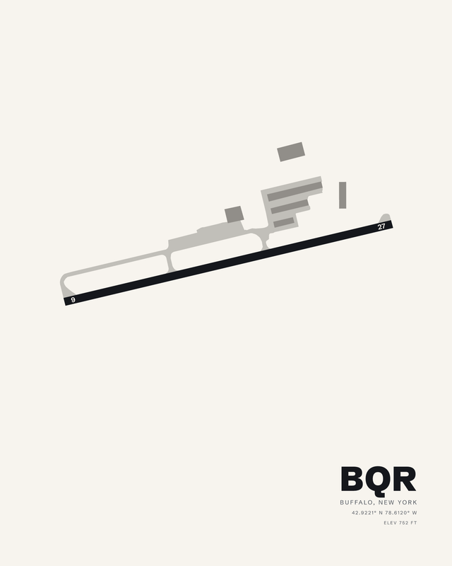
Buffalo-Lancaster RegionalBuffaloBQR7 colorways
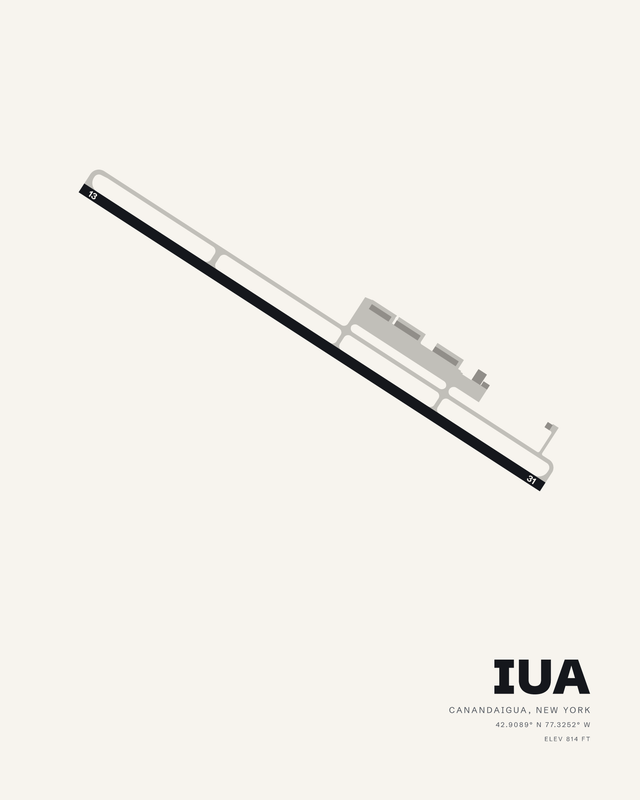
CanandaiguaCanandaiguaIUA7 colorways

Chautauqua County/DunkirkDunkirkDKK7 colorways
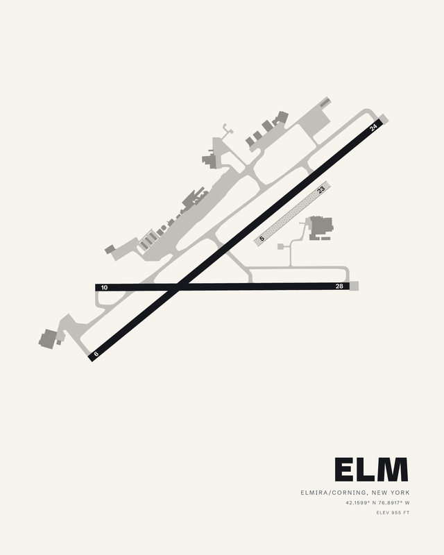
Elmira/Corning RegionalElmira/CorningELM7 colorways

RepublicFarmingdaleFRG7 colorways
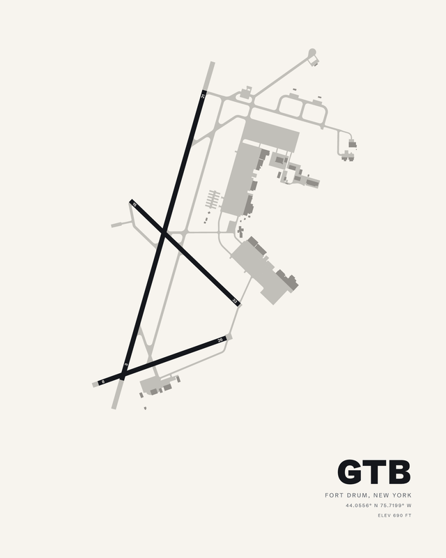
Wheeler-Sack AAFFort DrumGTB7 colorways

Oswego CountyFultonFZY7 colorways

Floyd Bennett MemorialGlens FallsGFL7 colorways
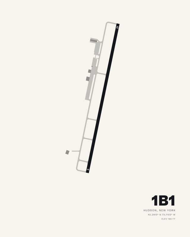
Columbia CountyHudson1B17 colorways

Ithaca Tompkins InternationalIthacaITH7 colorways

Chautauqua County/JamestownJamestownJHW7 colorways
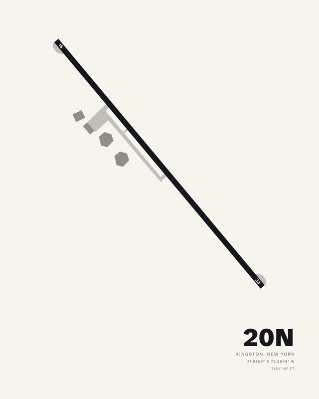
Kingston-UlsterKingston20N7 colorways
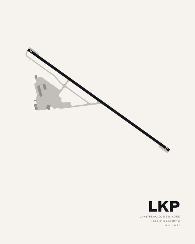
Lake PlacidLake PlacidLKP7 colorways
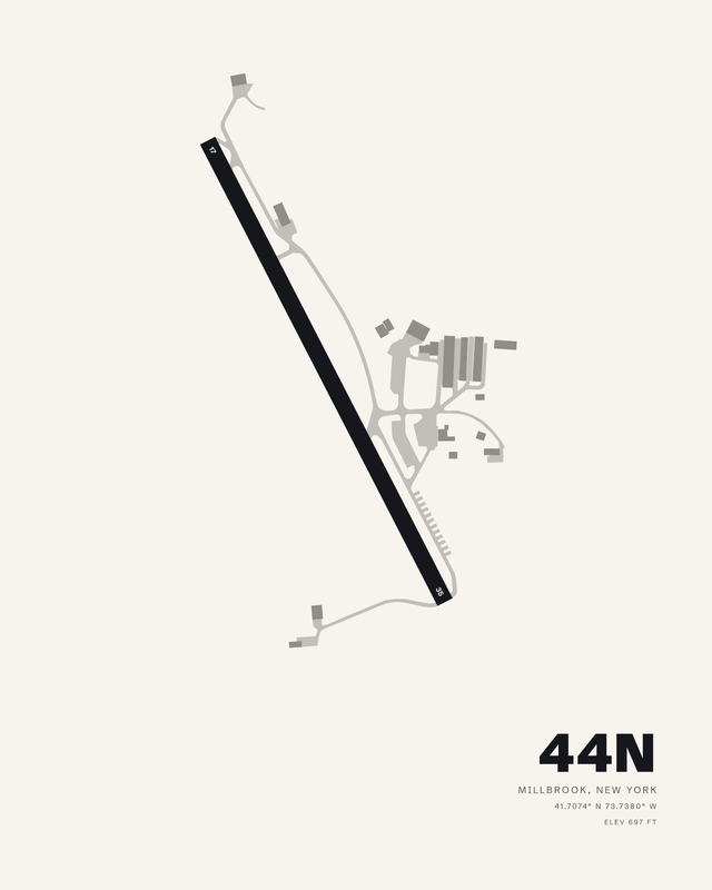
Sky AcresMillbrook44N7 colorways

Orange CountyMontgomeryMGJ7 colorways

John F Kennedy InternationalNew YorkJFK7 colorways

LaGuardiaNew YorkLGA7 colorways

Long Island MacArthurNew YorkISP7 colorways

New York Stewart InternationalNew YorkSWF7 colorways

Niagara Falls InternationalNiagara FallsIAG7 colorways

Ogdensburg InternationalOgdensburgOGS7 colorways

Plattsburgh InternationalPlattsburghPBG7 colorways

Hudson Valley RegionalPoughkeepsiePOU7 colorways

Frederick Douglass/Greater Rochester InternationalRochesterROC7 colorways

Griffiss InternationalRomeRME7 colorways

Adirondack RegionalSaranac LakeSLK7 colorways
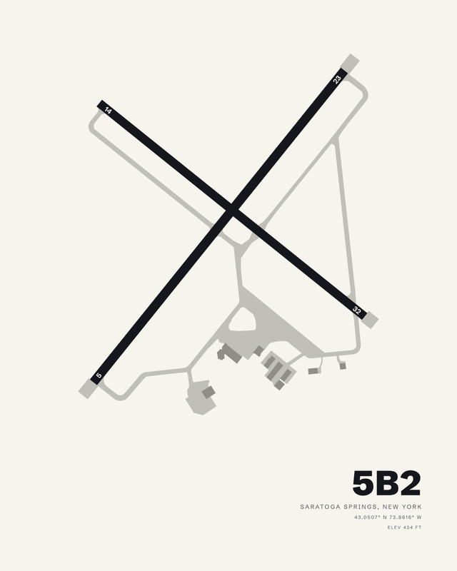
Saratoga CountySaratoga Springs5B27 colorways

Schenectady CountySchenectadySCH7 colorways
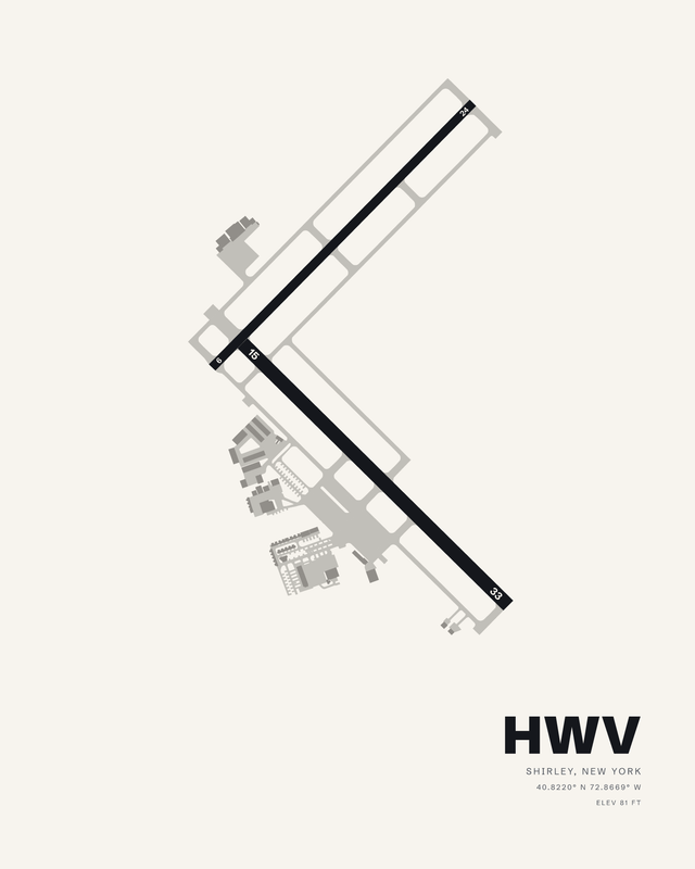
BrookhavenShirleyHWV7 colorways

Syracuse Hancock InternationalSyracuseSYR7 colorways

Watertown InternationalWatertownART7 colorways
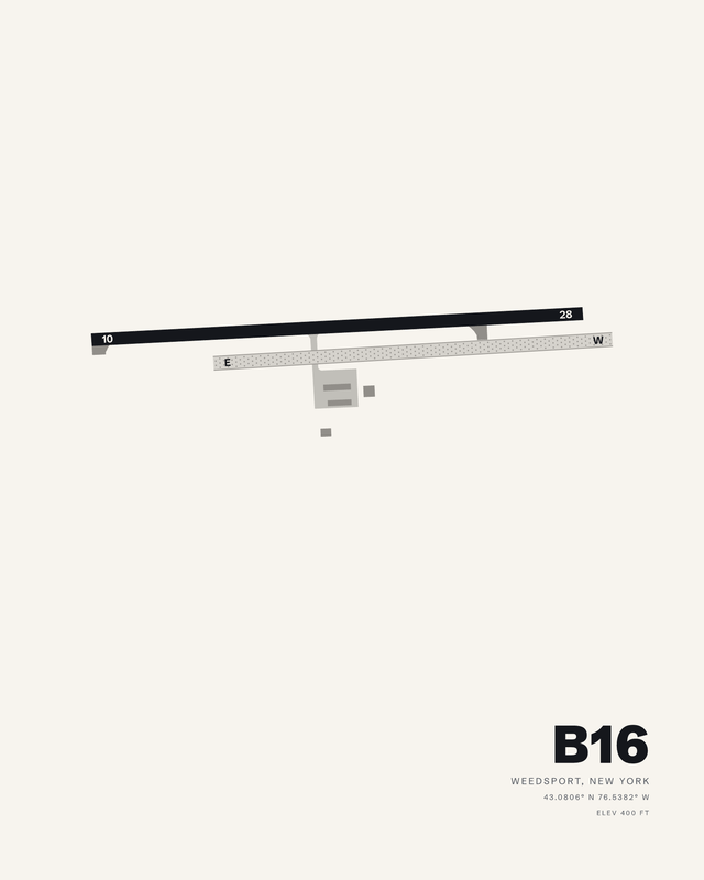
WhitfordsWeedsportB167 colorways

Francis S GabreskiWesthampton BeachFOK7 colorways

Westchester CountyWhite PlainsHPN7 colorways
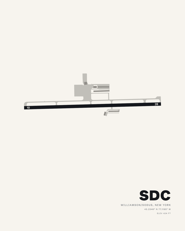
Williamson/SodusWilliamson/SodusSDC7 colorways
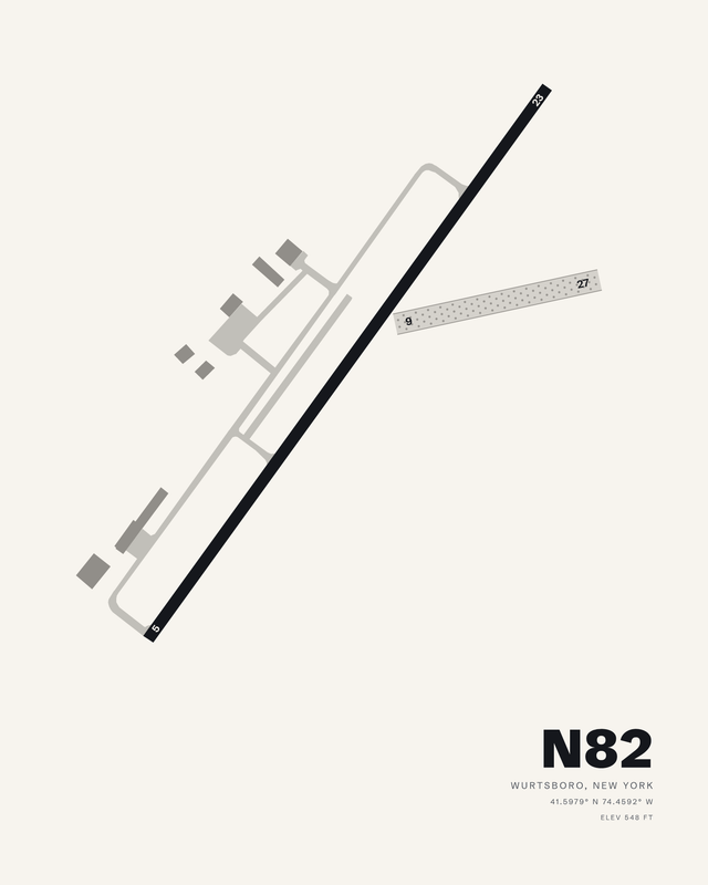
Wurtsboro/Sullivan CountyWurtsboroN827 colorways
Flying in New York
Flying in New York means crowded airspace over the city, then river valleys, mountains and lake shores upstate where the fields have room to stretch. JFK's four runways and a single long strip at Plattsburgh are both New York. Published airport information guides each composition's relative runway lengths and bearings, with fine details simplified for wall art.