

Texas airport map prints
Texas covers Gulf coast, Hill Country, open Panhandle and desert mountains. Dallas-Fort Worth International and Houston's George Bush Intercontinental have expansive runway layouts. Austin-Bergstrom International has a parallel pair, while El Paso International occupies higher western ground. Galveston's Scholes International lies near sea level, far below Marfa Municipal in West Texas.








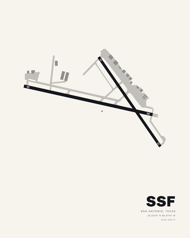

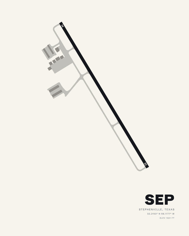

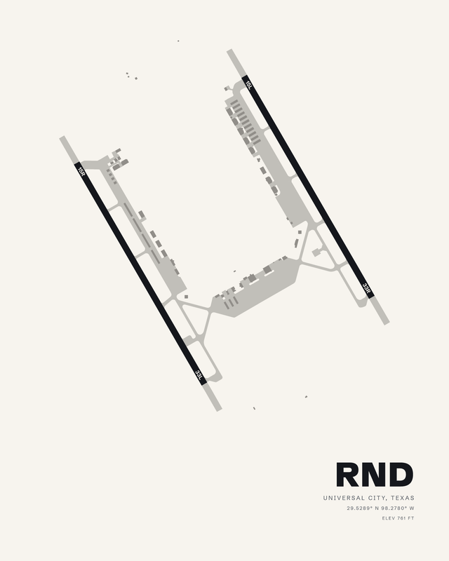


Flying in Texas
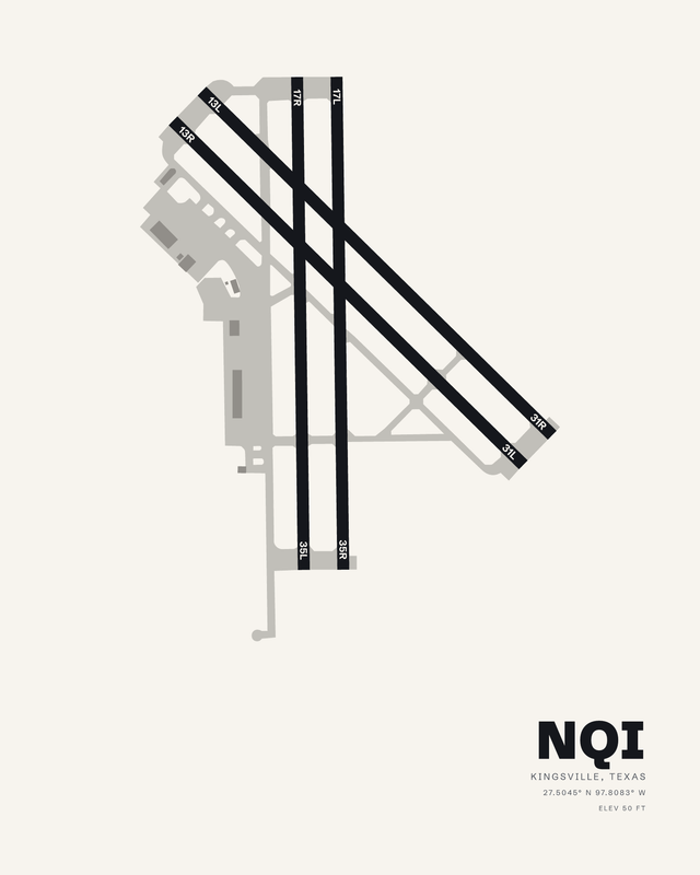
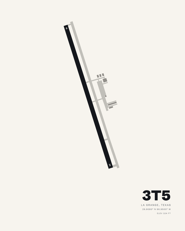
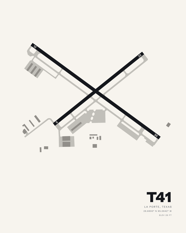
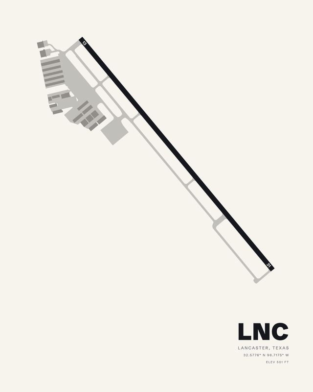
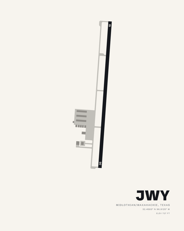
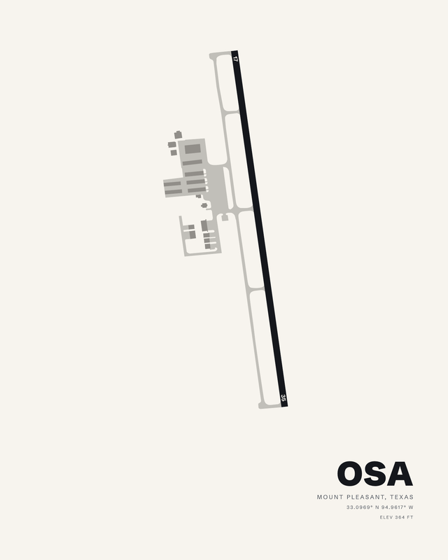
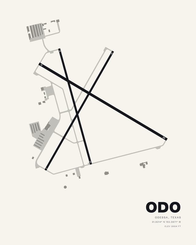
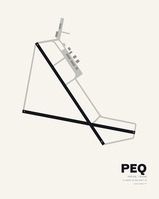
Flying in Texas covers Gulf humidity, Hill Country limestone, the flat Panhandle and desert mountains around El Paso, with two of the biggest runway layouts in the country in the middle. Every print is a different piece of that map. Published airport information guides each composition's relative runway lengths and bearings, with fine details simplified for wall art.