

Kansas airport map prints
Kansas rises gradually from its eastern lowlands toward the western High Plains. Wichita Dwight D. Eisenhower National has three runways on open ground. Nearby Beech Factory uses a single long strip. Airports at Dodge City, Garden City and Goodland stand progressively higher beneath the same broad horizon.
22 Kansas fields
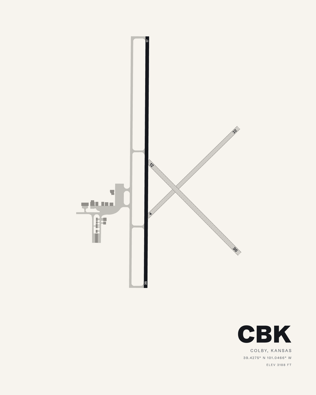
Shalz FieldColbyCBK7 colorways

Dodge City RegionalDodge CityDDC7 colorways

Garden City RegionalGarden CityGCK7 colorways

Renner Field/Goodland MunicipalGoodlandGLD7 colorways

Great Bend MunicipalGreat BendGBD7 colorways

Hays RegionalHaysHYS7 colorways

Hutchinson RegionalHutchinsonHUT7 colorways

Independence MunicipalIndependenceIDP7 colorways

Lawrence RegionalLawrenceLWC7 colorways

Liberal Mid-America RegionalLiberalLBL7 colorways

Manhattan RegionalManhattanMHK7 colorways
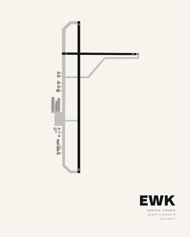
Newton-City-CountyNewtonEWK7 colorways
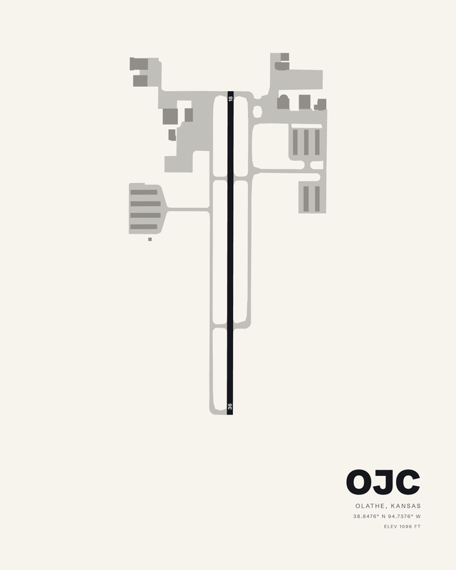
Johnson County ExecutiveOlatheOJC7 colorways

New Century AircenterOlatheIXD7 colorways

Salina RegionalSalinaSLN7 colorways

Philip Billard MunicipalTopekaTOP7 colorways

Topeka RegionalTopekaFOE7 colorways

Beech FactoryWichitaBEC7 colorways
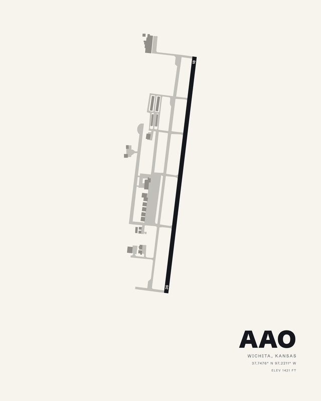
Colonel James JabaraWichitaAAO7 colorways
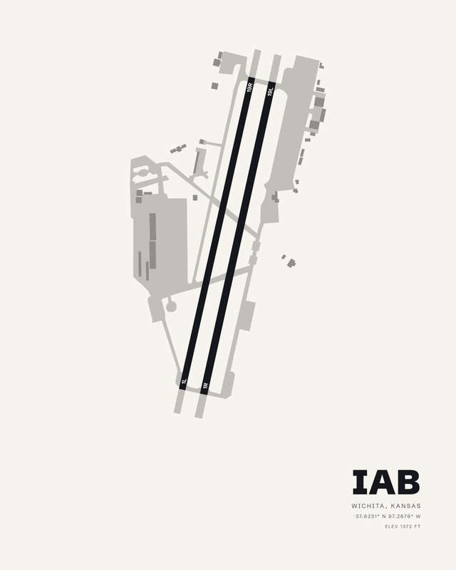
McConnell AFBWichitaIAB7 colorways

Wichita Dwight D Eisenhower NationalWichitaICT7 colorways
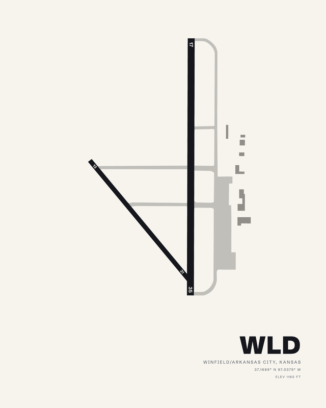
Strother FieldWinfield/Arkansas CityWLD7 colorways
Flying in Kansas
Flying in Kansas is wind and horizon: the ground rises steadily from east to west without a mountain in sight, and the fields are long, open and squared to the wind. Salina's four-runway spread and a single strip at Beech Factory are the same big sky. Published airport information guides each composition's relative runway lengths and bearings, with fine details simplified for wall art.