

New Jersey airport map prints
New Jersey's airports span its crowded north, Pine Barrens and shore. Newark Liberty International and Teterboro sit on low ground in the north. Atlantic City International, Cape May County and Ocean City Municipal mark the coastal side. Greenwood Lake at West Milford occupies higher ground, giving this compact state a different airport setting.
13 New Jersey fields

Atlantic City InternationalAtlantic CityACY7 colorways
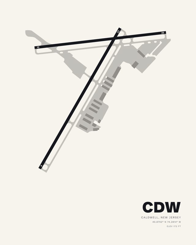
Essex CountyCaldwellCDW7 colorways
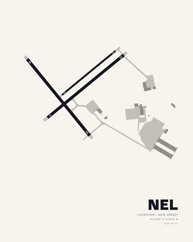
Lakehurst Maxfield FieldLakehurstNEL7 colorways
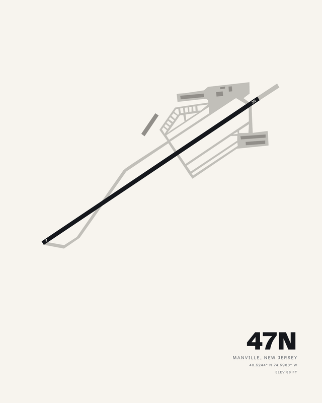
Central Jersey RegionalManville47N7 colorways

Morristown MunicipalMorristownMMU7 colorways
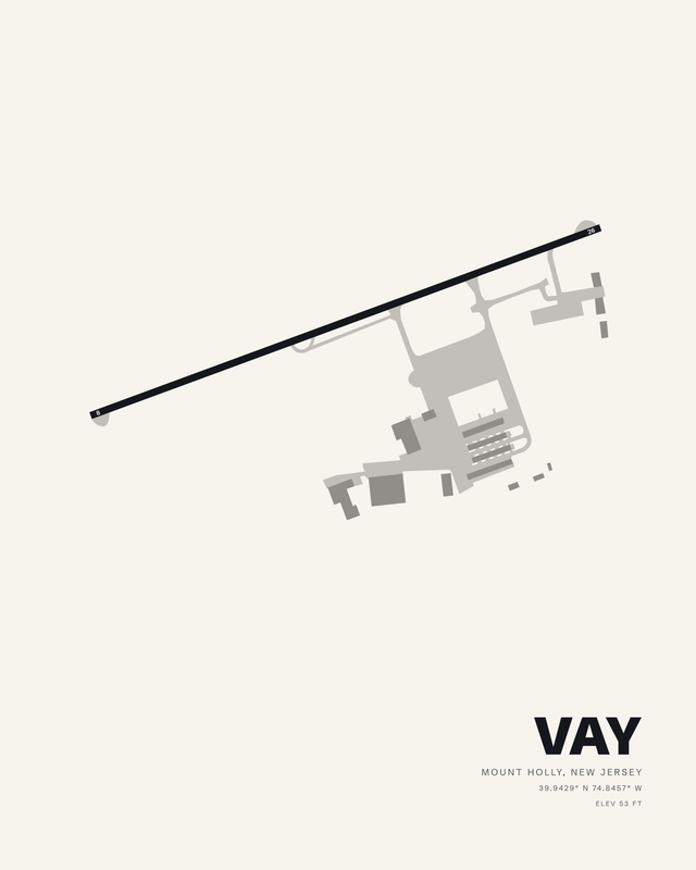
South Jersey RegionalMount HollyVAY7 colorways

Newark Liberty InternationalNewarkEWR7 colorways
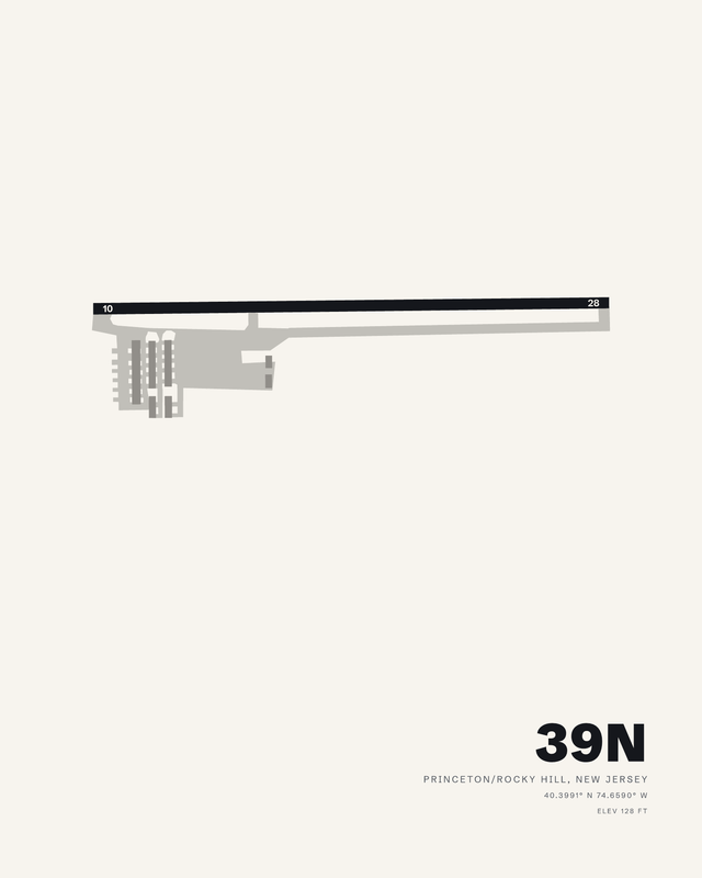
PrincetonPrinceton/Rocky Hill39N7 colorways
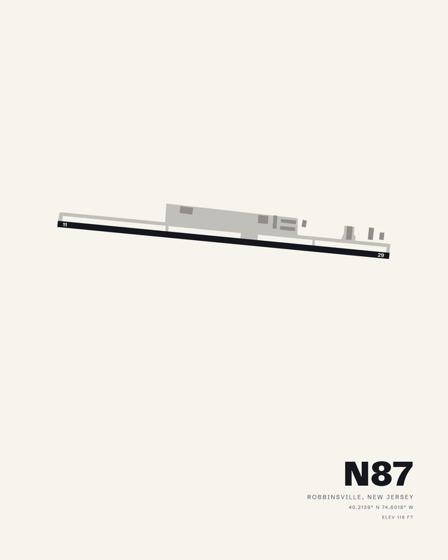
Trenton-RobbinsvilleRobbinsvilleN877 colorways
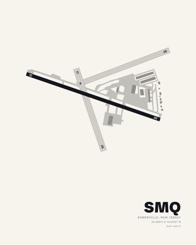
SomersetSomervilleSMQ7 colorways

TeterboroTeterboroTEB7 colorways

Trenton MercerTrentonTTN7 colorways
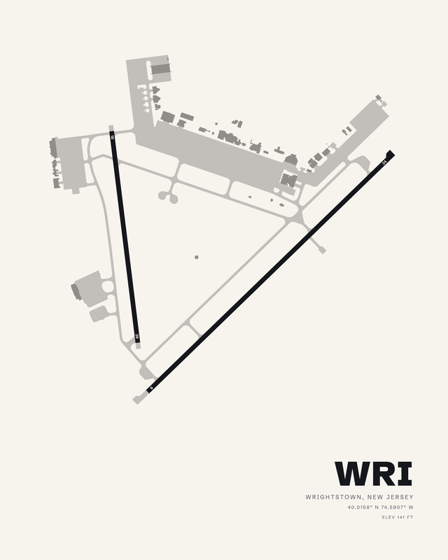
McGuire Field (Joint Base McGuire Dix Lakehurst)WrightstownWRI7 colorways
Flying in New Jersey
Flying in New Jersey is dense airspace in the north, pine flats and beach towns in the south, and hardly any terrain to speak of, so the prints are about how each field fits its crowded parcel. Published airport information guides each composition's relative runway lengths and bearings, with fine details simplified for wall art.