

Wake Island airport map prints
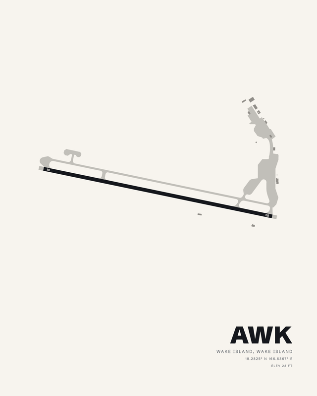
Wake Island is a coral atoll about 2,000 nautical miles west of Honolulu: three low islands (Wake, Wilkes and Peale) set around a reef-enclosed lagoon on roughly two and a half square miles of ground that averages twelve feet above the water. Wake Island Airfield is on Wake itself, much the largest of the three, and it has a single asphalt runway, 10/28, 9,844 feet by 150 feet, with the field at 23 feet. The trade winds here run east to northeast in every season, and runway 10 points into them. It is an Air Force field, private use rather than public, and the atoll has no deep-water harbor, only a small boat basin and two mooring buoys outside its channel. On paper the plan is one long line laid across a narrow arm of coral.
Cotton fine art paper, complete solid wood framing or vivid glossy metal. Made to order for your wall.
Flying in Wake Island
Flying at Wake is a long over-water leg to get there and an approach that crosses nothing but sea. A print of Wake Island Airfield is a single long line, alone on the sheet the way the field is alone in the ocean. Published airport information guides each composition's relative runway lengths and bearings, with fine details simplified for wall art.